 News
News
Study of the network of paths in the Serra de Collserola Natural Park
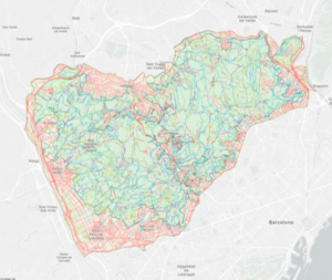
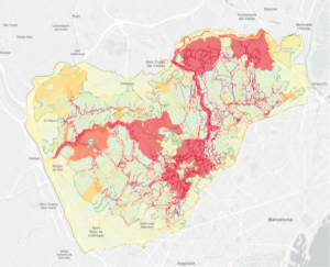
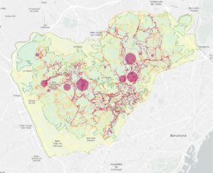
The Serra de Collserola Natural Park is the largest natural area in the Metropolitan Area of Barcelona. This particularity, together with a significant increase in recreational and sporting activities and the mobility restrictions caused by the health situation of the COVID-19, has caused an overfrequent and uncontrolled use of this area (6.4 million visits per year 2021). In order to analyze the network of paths in the park, its intensity of use and the possible impacts on the natural systems, the Consorci del Parc Natural de la Serra de Collserola commissioned GMG to write a study to be able to compare the official map of the park with the actual use of this space by users, in terms of itineraries, attendance, etc. By analyzing data from counters and other sources of information with tools specific to Geographic Information Systems (GIS) such as weights (Inverse Weighted Distance, for example), the study has allowed the network to be updated and unified of paths in the Natural Park, determine the use of these paths and sensitive areas, identify vulnerable areas and interactively visualize the information obtained.


